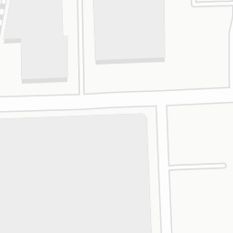
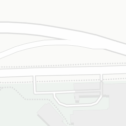
©
OpenStreetMap
contributors, ©
CARTO
, ©
OpenStreetMap
contributors
1 vehicle
lane chokepoint
Dangerous S-curve
Miami Beach Venetian
bike lanes
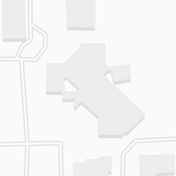
School Board Metromover Station
Overtown Greenway
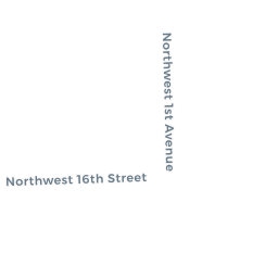
N. Miami Ave. public works (bike lane project)
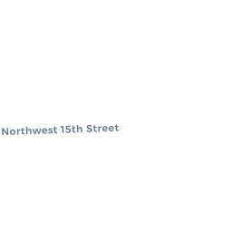
17th Street Omni Streetscape Project
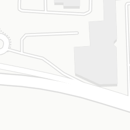
Connects with Downtown protected bike lane
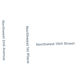
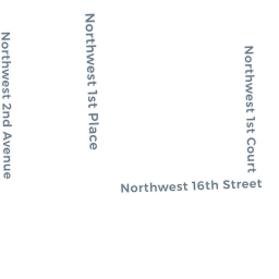
N. Miami Ave/NE 1st
Protected Bike Lanes
x
Share this map
Social
Share on Facebook
Share on Twitter
Link to this map
Embed this map
<iframe width='100%' height='520' frameborder='0' src='https://omnicra.carto.com/viz/75766e74-2d20-11e7-afcc-0e05a8b3e3d7/embed_map' allowfullscreen webkitallowfullscreen mozallowfullscreen oallowfullscreen msallowfullscreen></iframe>
+
-
CARTO
This visualization only works in modern browsers. Upgrade yours and enjoy.
Safari
Chrome
Firefox
Map created by
omnicra